The Church offers several ways to see maps of stakes, wards, and missions.
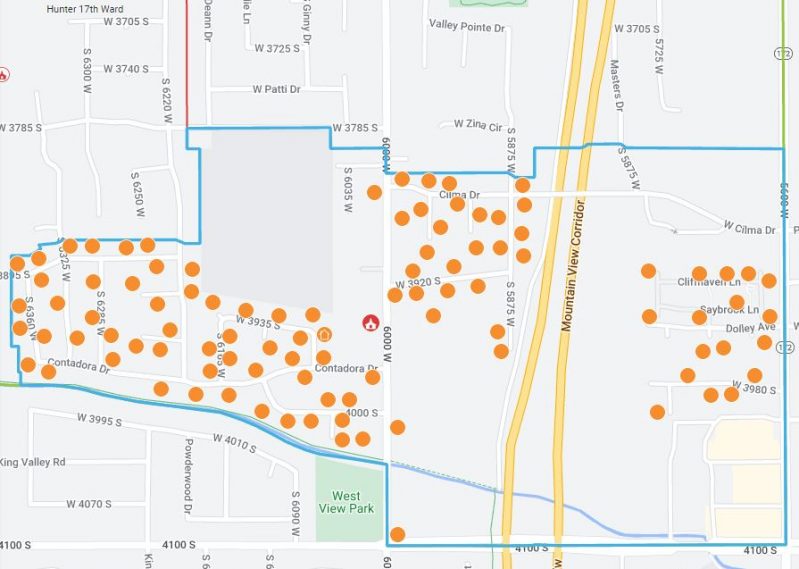
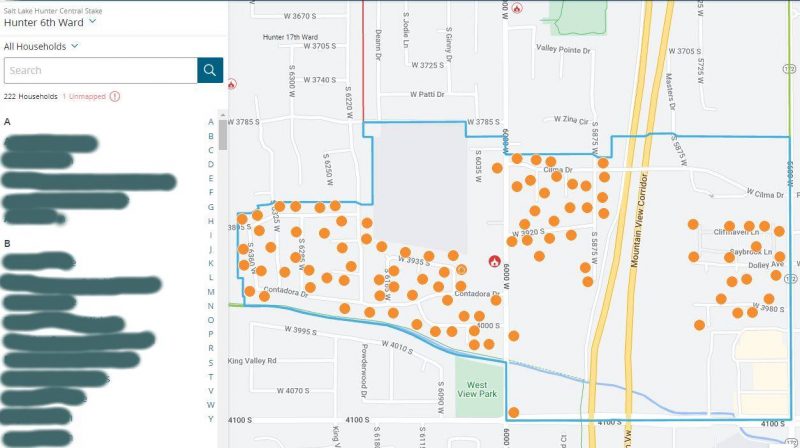
Ward Map
Log in to ChurchofJesusChrist.org with your Church account. Then click the menu in the upper right corner (the icon with 9 dots), then select Ward Directory and Map. You will see a list of ward members on the left and the map in the center with dots representing each member household.

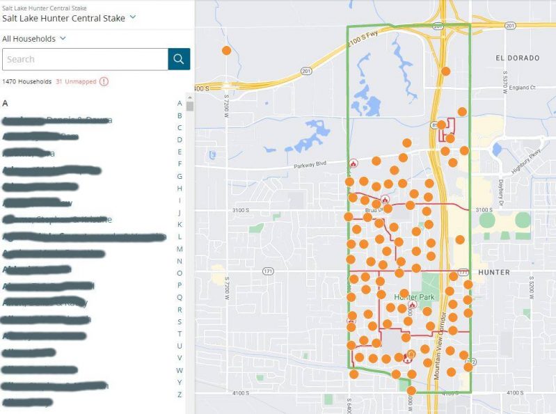
Stake Map
After logging in to your ward map (see above), you can select your stake from the pull-down menu in the upper left.

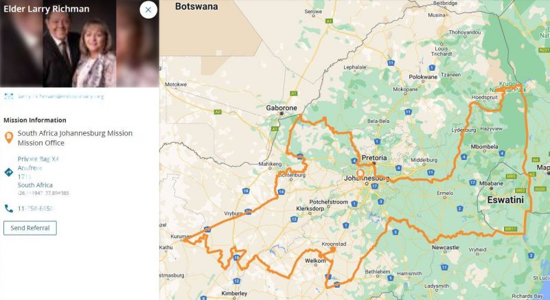
Mission Map
After logging in to your ward map (see above), you can select Missionary in the bottom left to see a map of the mission you live in.

Note: The Church website has discontinued the Classic Maps feature that showed wards and branches, stakes and districts, temples, FamilySearch centers, missions, areas, bishops’ storehouses, canneries, Deseret Industries, Employment Resource Centers, Family Services, historical places, home storage centers, seminaries and institutes, recreational camps, tabernacles, and visitors’ centers.
The post Maps for Stakes, Wards, and Missions first appeared on LDS365: Resources from the Church & Latter-day Saints worldwide.
Continue reading at the original source →


